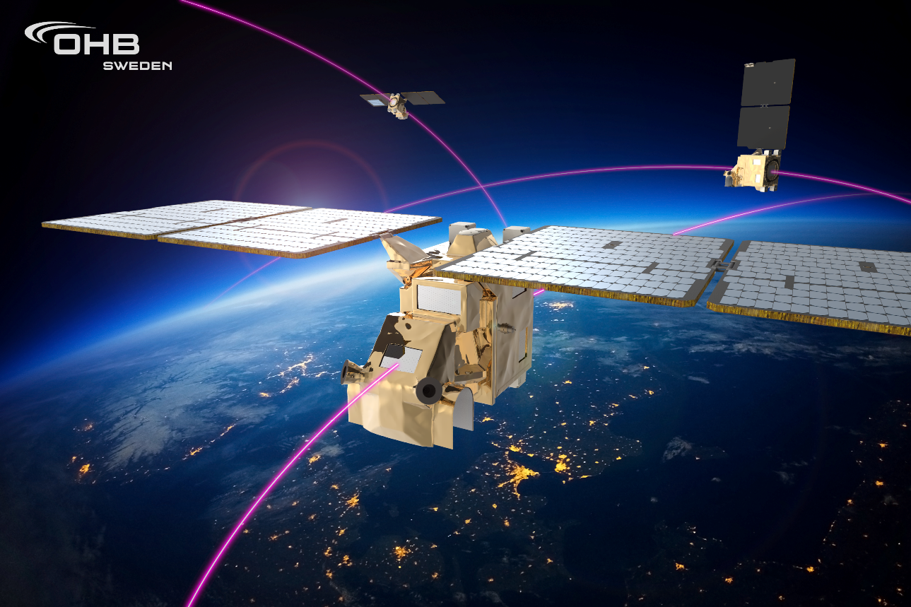
Many secrets are hidden in the deep blue depths of the world’s oceans. But there are also some mysteries above the shimmering surface of the sea that are waiting to be discovered. Detective work on the world’s oceans is being decisively supported by a small space company in the quiet town of Betzdorf in Luxembourg: LuxSpace, a subsidiary of technology group OHB, assembles microsatellites that pick up the AIS data sent by ships. However, not every vessel wants to be seen, which is why some of them turn off their positioning transmission messages, for example, to pursue illegal fishing. The European Defense Agency has now entrusted LuxSpace with the SIMMO II (System for Intelligent Maritime Monitoring II) research and development project, which is being funded by the Polish and Luxembourg Defense Ministries. In cooperation with scientists at the University of Economics in Poznan (Poland), a system for analyzing marine data based on innovative methods from data science is to be developed. Gerd Eiden and Miguel Nuevo are in charge of the project at LuxSpace. In an interview, they talk about the challenges posed by maritime surveillance and the special detective services they perform.
Why is it so important to evaluate AIS data and what are the benefits?
Gerd Eiden: Every day, we receive more than 230 million items of AIS data transmitted by around 200,000 ships worldwide. However, the AIS data comes not only from satellites operated by our partner Orbcomm but also from a global network of AIS antennas along the coastlines and at major ports. This is a huge amount of data that we have to process and make available to our customers in a bespoke manner. However, there is a growing need not only for data but also for the information extracted from it. A simple example is the question as to when a ship is actually docked at the port. Precise prediction of the port arrival time is important for ensuring the smooth handling of a ship at the port. This can be calculated from the AIS data and passed on to customers. Another example is surveillance of marine areas, far off the coasts. A maritime situational picture is created for this purpose and continuously updated. Of relevance is not only where a ship is currently located, but also what it is doing, where it comes from and how it has behaved on its journey so far. For example, certain vessels engage in illegal fishing and, at times, simply switch off their AIS signals in order to remain undetected. However, not everyone is that devious. Sometimes satellite reception may also be limited. The purpose of our data analysis is to help detect such situations.
What can SIMMO II contribute to this analysis?
Miguel Nuevo: The system will enable faster analyses, including on a real-time basis. It will also make it possible to assess the current situation on the seas and oceans on a global scale and for different types of ships. Until now, such analyses have been virtually impossible. For this reason, we asked ourselves how we could build our IT infrastructure in such a way that it is possible to analyze these significant amounts of data. In short, how we use can big data tools for our purposes. Conventional IT systems are not yet in a position to process data quickly enough.
And you are obtaining the technical expertise from the University of Poznan?
Gerd Eiden: Exactly, the university has highly qualified experts for big data who, together with our Luxembourg software developers, will be setting up the necessary IT infrastructure and developing algorithms to evaluate the anomalies in shipping traffic and our AIS position data.
That sounds highly interesting! Are there other types of illegal activities on the high seas?
Gerd Eiden: Oh yes, indeed. With illegal fishing, vessels rendezvous on the high seas and transfer the fish to a refrigerated vessel. Or the boats enter a port in which the official controls are ineffective. We want to find out what ports these are, what happens on the high seas, whether ships leave the usual routes and how likely a ship collision is. In addition, observance of trade sanctions can also be monitored because ships in particular are increasingly undermining them. As well as this, particularly endangered marine areas can be observed. For this purpose, we generate information from the AIS data with the aid of algorithms, some of which are very complex.
So, what you’re doing is akin to detective work? What other analyses is SIMMO to perform?
Miguel Nuevo: We will be providing a whole series of analyses, for example for monitoring fishing and thus also for the European Fisheries Control Agency. We also want to be able to calculate the exact time when a ship arrives at the port. This is important for logistics purposes. In this way, we will be able to answer questions such as when the dock must be vacant, when the refrigerated trucks need to be ready and so on. In this connection, we are relying not only on the analyses of AIS data but also on other sources of data, such as the radar images delivered by the Sentinel satellites in ESA’s Copernicus program. When we merge their data with the AIS data, we will be able to see whether a ship is visible or is deliberately concealing its location. So, in this respect, it really is true to say that we are a detective agency for the world’s oceans.


